4 Acres, 4 Houses, Restaurant, 5 Motel Rooms & Barn
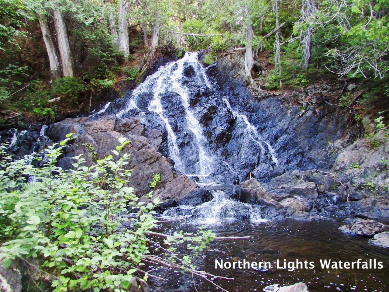
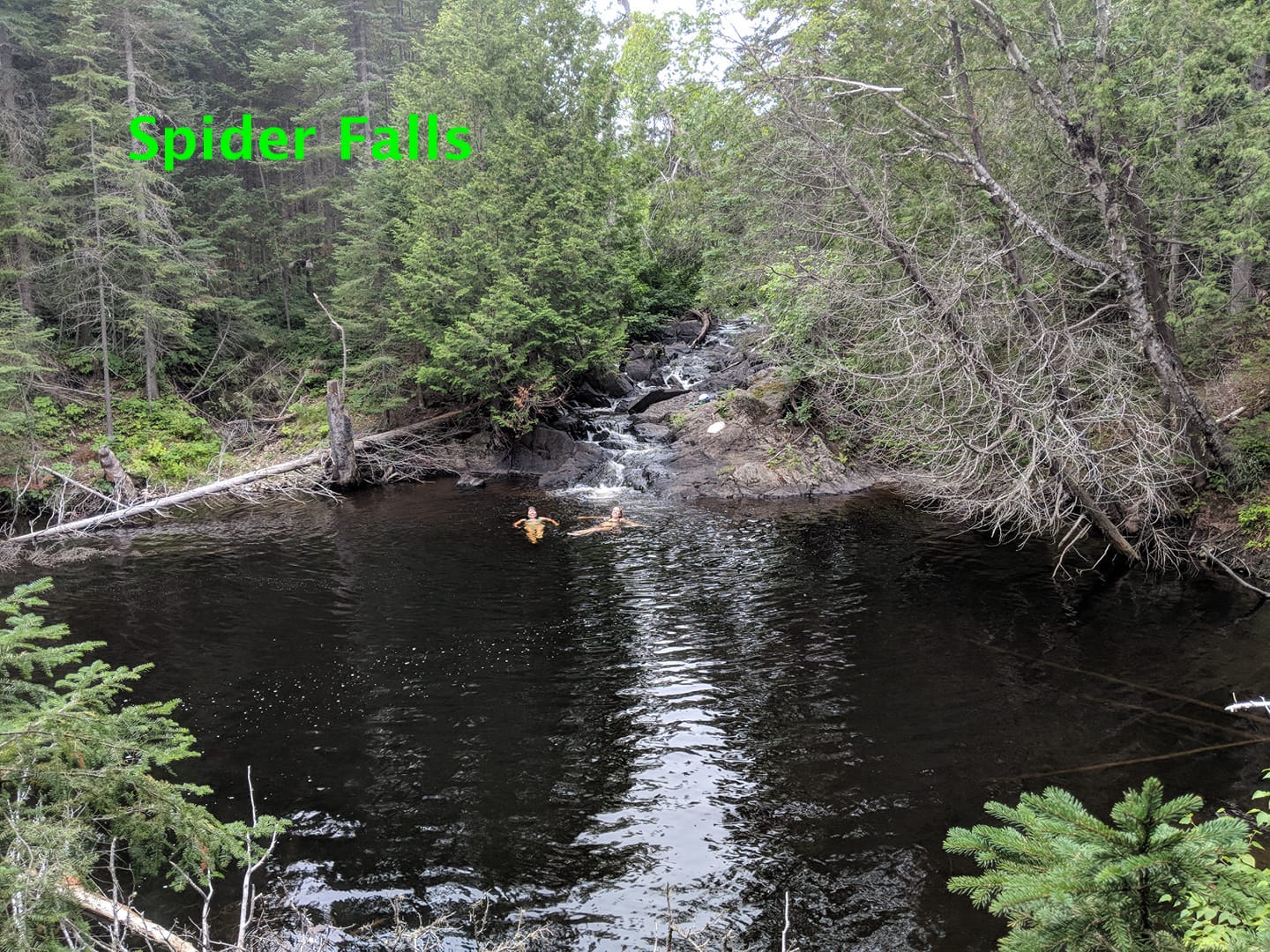
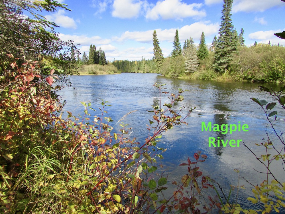
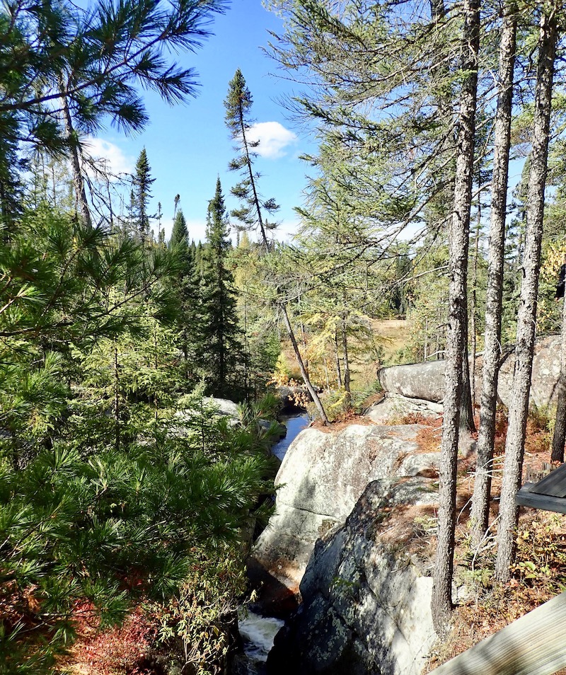
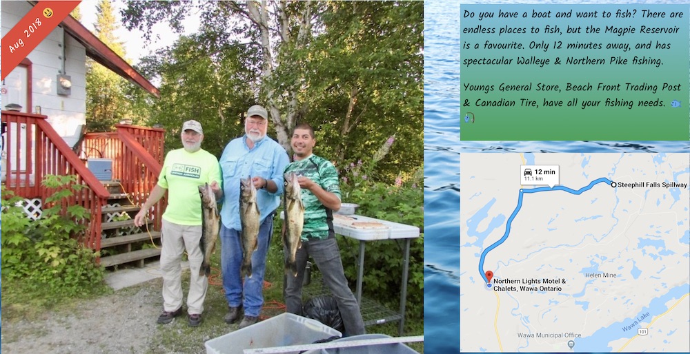
The property is surrounded by Crown Land. Cross the highway, and walk the trail along the Stream that takes you to 2 waterfalls, a Swimming/Fishing hole, and eventually flows into the Scenic Magpie River….
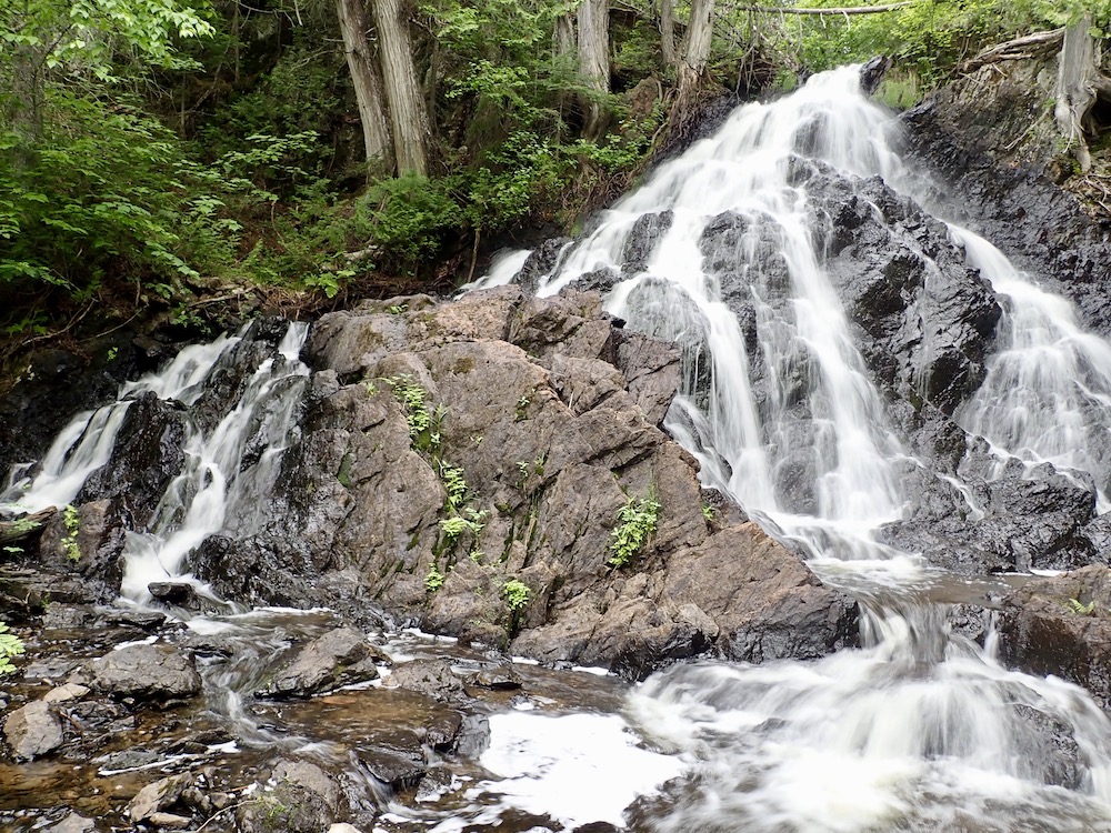
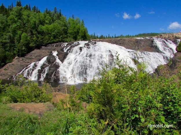
Northern Lights Waterfalls - a 5 - 10 minutes hike from the Motel.
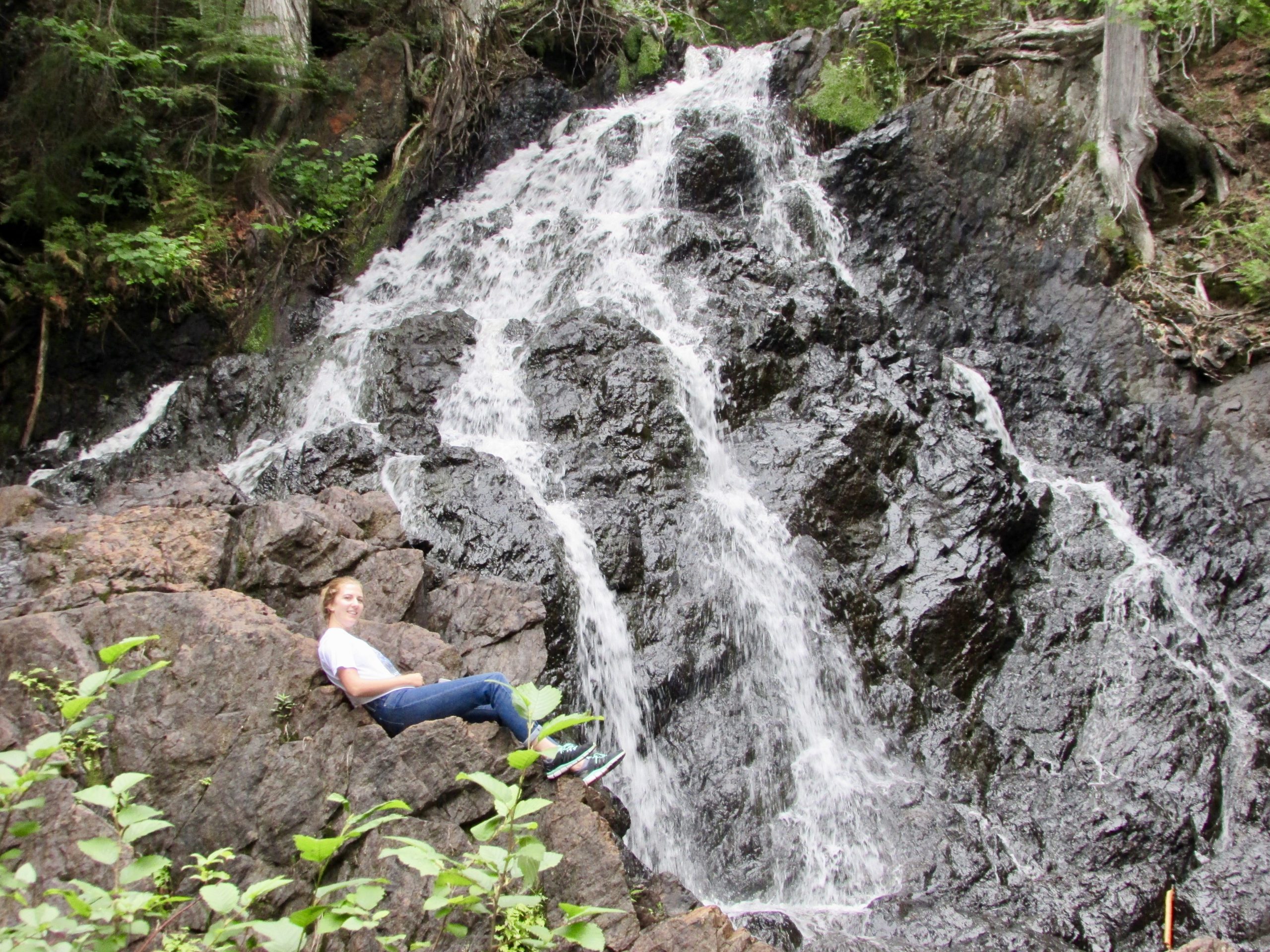
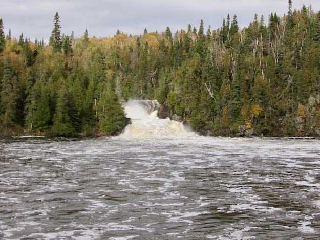
10 minutes further, is Spider Falls..
10 minutes further, the trail ends at the Magpie River - (about ½ hour away from the Motel)
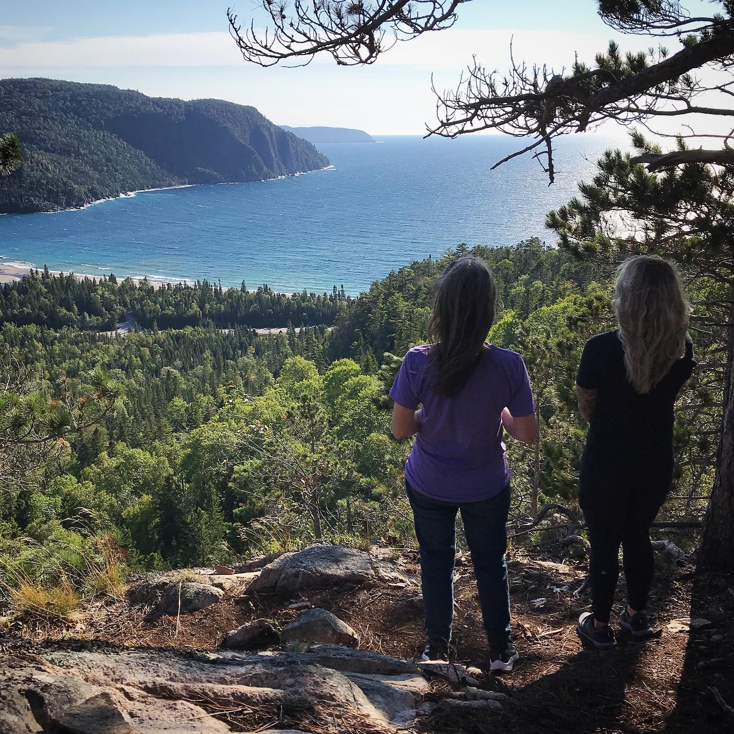
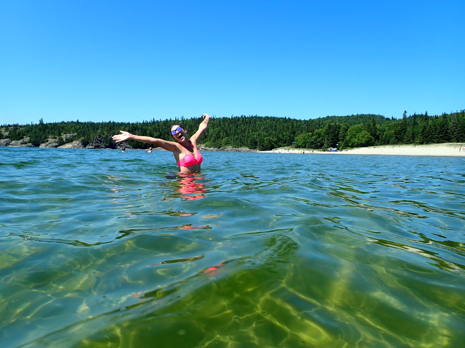
Hiking Lake Superior Park
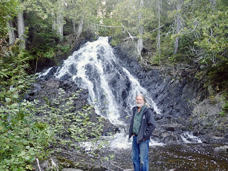
Nokomis Trail Hike, August 2021 - Overlooking Old Woman Bay. I'm with my niece Hillary in this photo.